State-of-the-art inspection service
In the world of technology, one of the most exciting and versatile innovations of recent times is the lidar. It has transformed the way we explore and capture images of our environment. This technology has found applications in a wide range of fields, from gas and oil pipeline inspection to wide area surveying.
Our multi-sensory technology offers a solution for our customers. The system is highly customizable and is compatible with a wide range of LIDAR cameras and sensors. This allows users to change data collection settings and add or upgrade sensors without needing to replace the entire system.
Solutions for Various Sectors:
Discover how our LIDAR technology can address specific problems
in different sectors, from infrastructure inspection to agriculture
precision, safety and emergency response.
Inspection Power lines: Accurate problem identification and preventive maintenance.
Oil and Gas Pipelines: Detailed surveillance to guarantee the integrity and security of infrastructures.
Forest and Environmental Management: Evaluation of natural resources and monitoring of environmental changes.
Urban planification: Support in urban planning with precise terrain data.
Cartography and Topography: Creation of detailed maps and precise topographic measurements.
Precision farming: Detailed analysis to optimize agricultural practices and crop management.
Emergencies and Disaster Response: Quick and efficient damage assessment in critical situations.
Ready to take advantage of the LIDAR revolution?
Contact us to learn more, request a quote, or discuss how our service can benefit your project.
LIDAR Advantages
At Helipistas we offer a personalized service that provides exceptional precision in the capture of information, allowing the accurate representation of environments and objects in 3D.
High Fidelity Data Derived Products:
Discover a variety of highly precise and useful products:
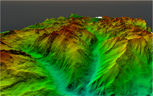
- Digital Terrain Models (DTM) and Digital Surface Models (MDS): Details for urban planning and landscape management.
- Thermal Maps: Identification of heat leaks and hot spots for energy and environmental applications.
- High Resolution Images: Detailed photographs for visual inspection and detection of environmental changes.
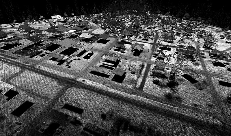
- Dense Point Clouds: Detailed analysis of infrastructure, vegetation and topographic elements.
LIDAR is a single-pass data collection system that supports corridor mapping, wide area mapping, and other commercial applications for utilities, forestry, mining, urban mapping, and other applications.
Our clients save an average of 36% of flight time compared to non-optimized systems.


